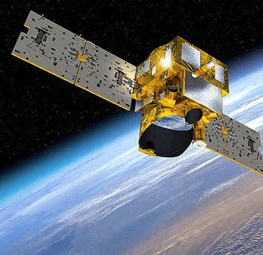
Earth observation & environmental science

We’re environmental scientists who use satellite imagery, LiDAR and machine learning to map forests, habitats and changing landscapes, helping people understand and manage the places they care for.

Understanding our changing landscapes

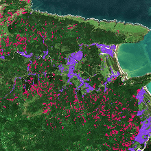
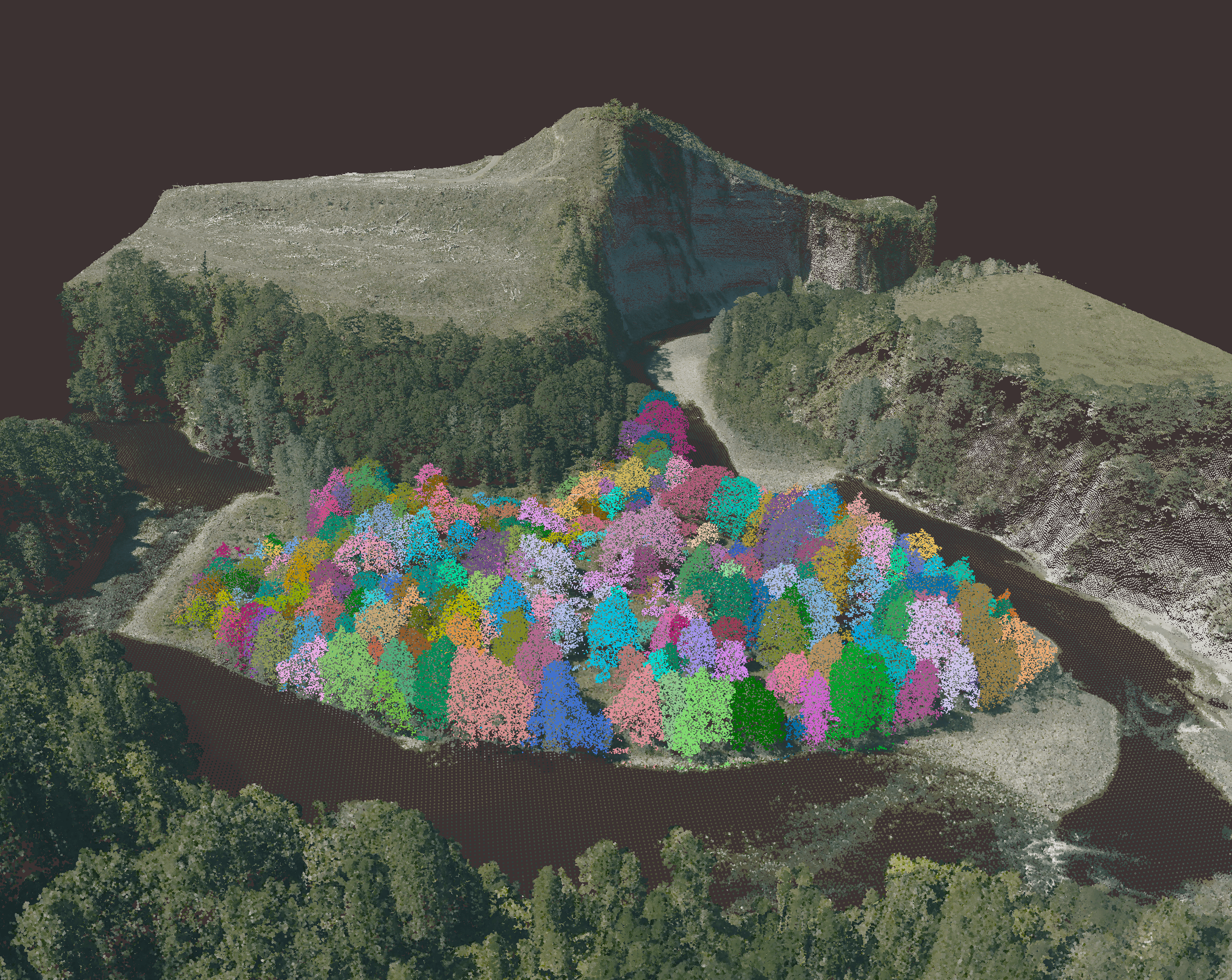
Satellite imagery, LiDAR and other technologies are giving us new ways to map and monitor forests, habitats and changing landscapes. We can now identify individual trees across large areas, map coastal habitats from aerial imagery and detect changes in the land that might otherwise go unnoticed.

This information helps people manage forests, monitor habitats, protect infrastructure and understand the impacts of natural hazards.

Our services

How we can help you

  1. Forest and vegetation mapping
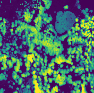
    We work with people managing productive and indigenous forests, helping them understand what is growing, how forests are changing and what that means for their management.

    Our work includes measuring tree growth and carbon stocks, monitoring forest condition, supporting restoration and identifying vegetation that may affect infrastructure.

    Our services

    • Productive and indigenous forest mapping
    • Tree growth, forest structure and condition
    • Forest carbon and biomass measurement
    • Forest monitoring, restoration and vegetation management
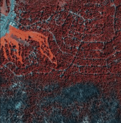
  2. Environmental and habitat mapping

    We map habitats and other features of the natural environment to help people understand where they are, how they are changing and what that means for their management.

    Our experience includes coastal and marine habitats, wetlands and vegetation. We use aerial and satellite imagery, field observations and existing environmental data to produce maps and analysis that support conservation, monitoring and planning.

    Our services

    • Environmental and habitat mapping and classification
    • Coastal, estuarine and marine spatial analysis
    • Land cover and vegetation mapping
    • Environmental spatial data collection, integration and analysis
  3. Natural hazards and landscape change

    We help organisations understand changes in the landscape, identify emerging risks and assess the impacts of landslides, erosion and major storms.

    Using satellite imagery, LiDAR and environmental data, we provide evidence to support decisions about infrastructure, land management and recovery.

    Our services

    • Natural hazard and landslide mapping
    • Landscape change and risk monitoring
    • Storm and disaster impact assessment
    • Land and soil condition assessment

How we work

Our work in Earth observation and environmental science helps people understand the natural environment, monitor change and make better decisions about how land and ecosystems are managed.

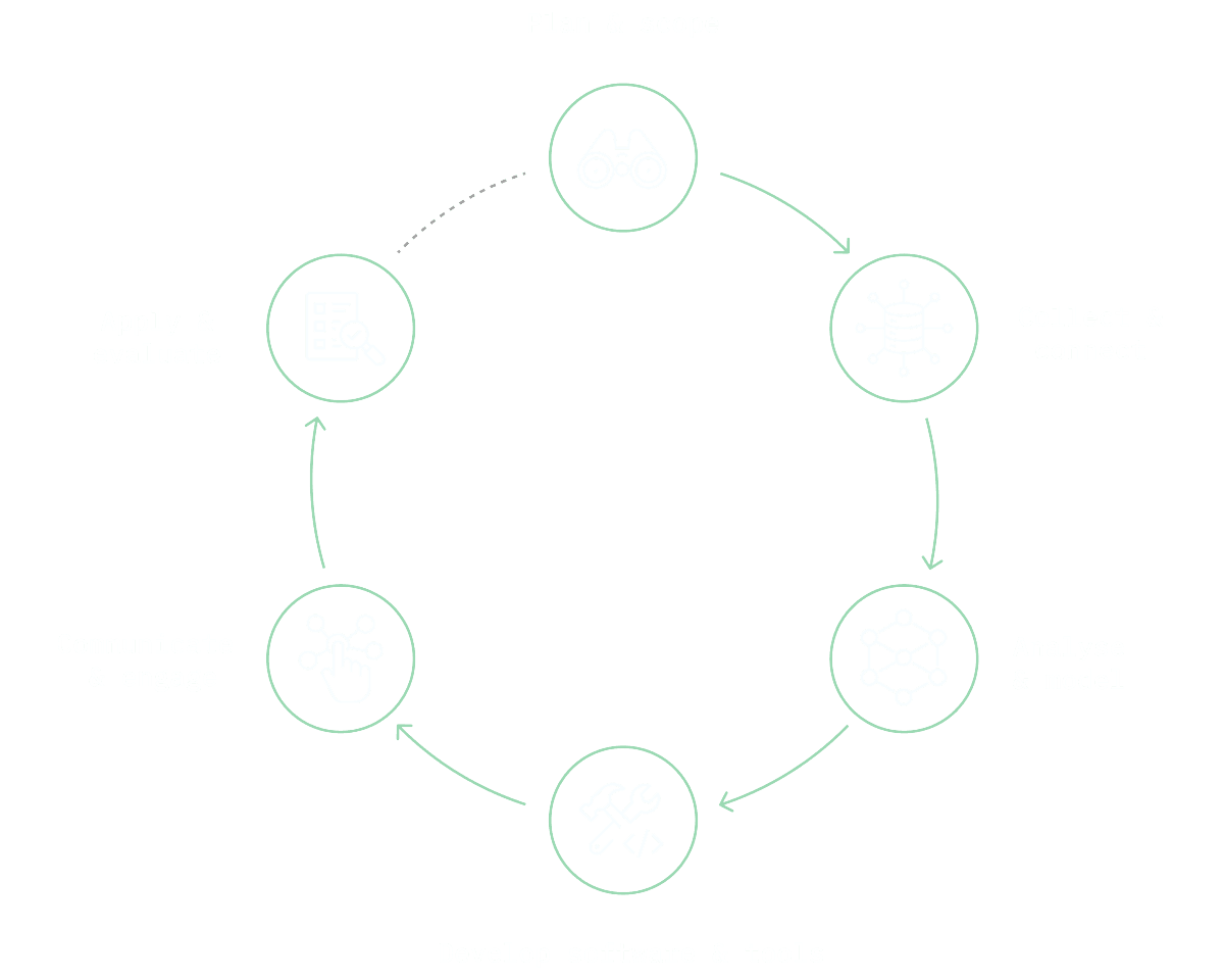
We’ve developed and refined our six-step process over 20 years to help us achieve this. It gives us confidence that our science is robust, transparent and repeatable, and most importantly, applied in the real world where it can make a difference.

We can work with you on any one of these six steps, support the whole process, or manage the process over time to keep the results up to date.

our technical capabilities

  • Earth observation and remote sensing

  • Machine learning and computer vision

  • Environmental and statistical modelling

  • Geospatial analysis and mapping

  • Data engineering and automation

  • Interactive tools and visualisation

our clients and partners

Organisations we work with

Vibrant Planet
NASA
Toi Hau Tāngata Social Investment Agency
Hīkina Whakatutuki Ministry of Business, Innovation and Employment

Have a forest or environmental project you would like to discuss?

Get in touch