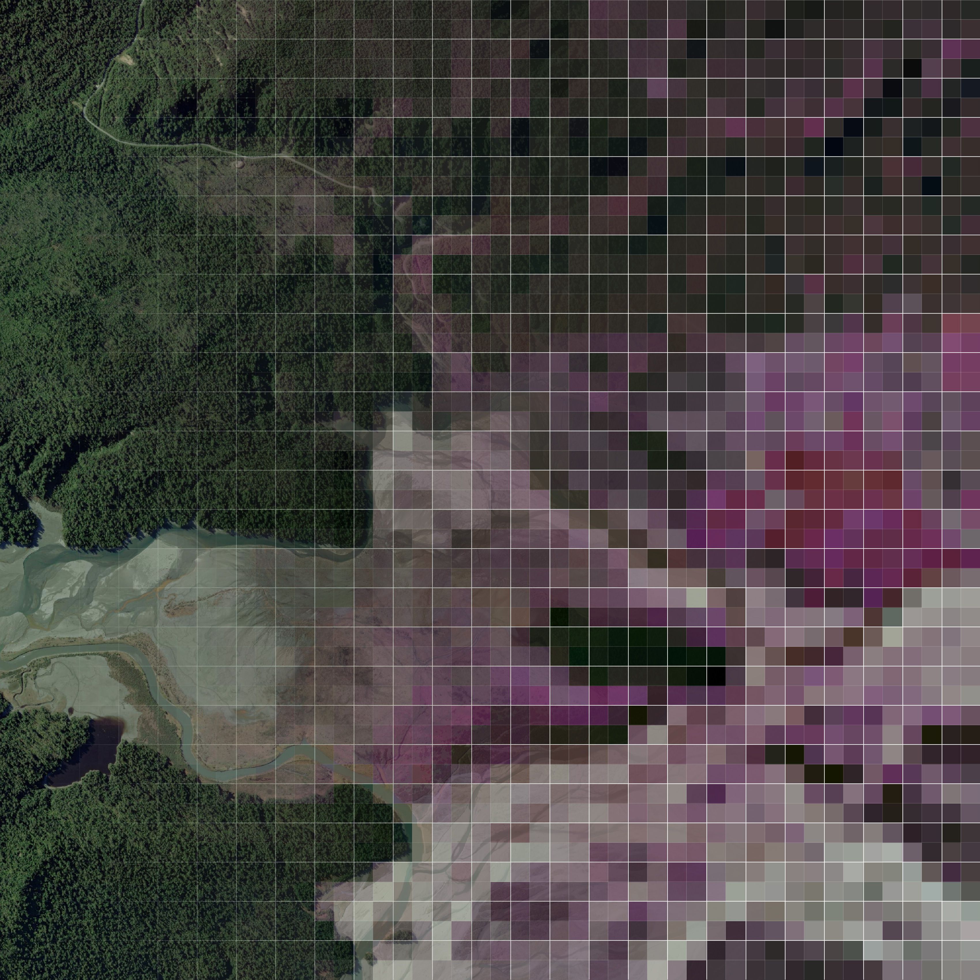
Dragonfly Data Science and NASA are joining forces to map every single tree across Aotearoa, offering a view unlike before –- from space.
The three-year, $1-million project, awarded under the Catalyst Fund by the Ministry of Business, Innovation & Employment, will use spaceborne NISAR (L-band and S-band synthetic aperture radar) technology to build a 3-dimensional forest map that measures the height, condition, density, and carbon-storing potential of forests across the entire country.
"There’s no hiding from space," says Dragonfly’s Director of Data Science, Dr Finlay Thompson.
"For the first time, we’ll have nationwide data that are accurate enough to monitor carbon, but also practical enough to support everyday land-use decisions."
Dragonfly will translate NASA's high-resolution satellite data into practical tools for landowners, iwi, farmers, councils, and government agencies. These tools will make it easier, for example, to track forest growth and re-growth over time, and to understand the carbon value of trees.
“You can't value what you can't measure,” says Finlay. "This project will give landowners a way to know exactly what their forests are worth, as well as a tool to prove it."
The project is also the first non-military use of NASA's NISAR satellite, and part of a growing movement to leverage space-based data for local impact.
Dragonfly and NASA have previously partnered for international post-disaster mapping, but this collaboration is their first New Zealand-specific forest mapping project. It is also the first project to build a public, open-access forest monitoring tool for all New Zealanders.
"What makes Aotearoa such a great place for this work is our scale," says Finlay. "We're big enough to make the science meaningful, but small enough that you can actually model the entire landscape. It’s one of the few places in the world where this approach is possible."
Once completed, Dragonfly's tools will help forest managers, landowners, and policy makers track forest assets, make well-informed land-use decisions, and respond quickly if trees are lost to fire, pests, or illegal clearing.
For more information, read about the pilot study of this research programme.
In the media
Finlay spoke about this exciting collaboration in the media. You can listen to the interview here: RNZ: Mapping every tree in New Zealand.